Forecast Model Links:
Tropical Tidbits Numerical Model Prediction PageFSU's Tropical Model Page
WeatherNerds Tropical Cyclone Guidance page
Hurricane Analysis and Forecast System (HAFS)
Hurricane Forecast Improvement Program (HFIP)
NHC-Display (from HFIP)
US Navy Global Environmental Model
ARL's Forecast Model Animations
Tropical Cyclone Guidance Project
NCEP Model Analyses and Guidance
FNMOC Satellite Data Tropical Cyclone Page
Penn State Tropical e-Wall
Tropical Atlantic Upper Level Water Vapor:

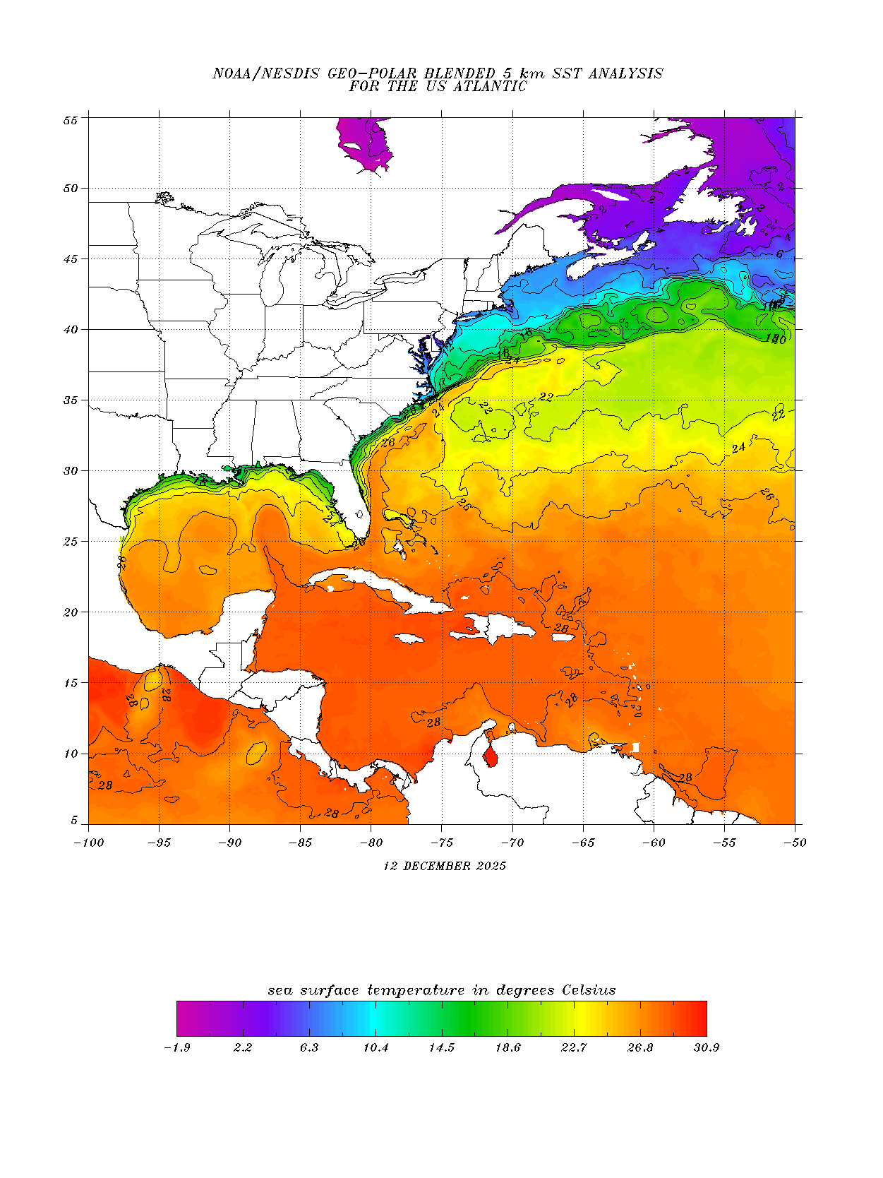
Atlantic Sea Surface Temps (SST)
Latest Sea Surface Temps:
Latest SST Anomalies:

Wind Shear Analysis
Shear Tendency:
Upper Level Divergence:
Lower Level Convergence:
Steering Layers
Steering Layer (MSLP 1000-1010mb):Steering Layer (MSLP 990-999mb):
Steering Layer (MSLP 970-989mb):
Steering Layer (MSLP 950-969mb):
Steering Layer (MSLP 940-949mb):
Steering Layer (MSLP 940mb or less):