About
Gallery
Research
Wind Setup in the Indian River Lagoon
Determining Wave Properties with Video
Surface Roughness in Coastal Estuaries
Tropical
Tropical Weather Outlook
Atlantic Satellite Imagery
More Tropical Info
Space Coast
KMLB Forecast & Discussion
SPC Activity & Latest Sounding
Ionospheric Propagation
Tides & Surf Forecasts
Fire Weather
Home
Orion Weather
Florida Space Coast and Tropical Weather
Forecasts from Melbourne National Weather Service (MLB)
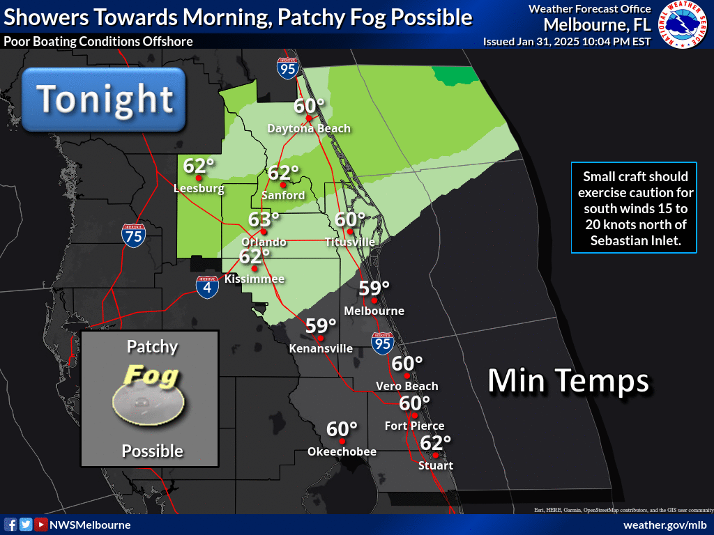
Impact Weather Graphic:
Area Forecast Discussion from MLB:
FXUS62 KMLB 160708 AFDMLB Area Forecast Discussion National Weather Service Melbourne FL 308 AM EDT Wed Apr 16 2025 ...New KEY MESSAGES, DISCUSSION, MARINE, FIRE WEATHER... .KEY MESSAGES... Issued at 308 AM EDT Wed Apr 16 2025 - Elevated fire weather danger persists today. Steady breezes will surge drier air down the peninsula. - No rain is forecast through the weekend. Next week, there is at least a low chance of a few showers and storms. - A slow warming trend gets underway late this week and through the weekend. && .DISCUSSION... Issued at 308 AM EDT Wed Apr 16 2025 ----------Synoptic Overview---------- Florida rests within a tranquil weather pattern over the coming days. The current setup across the U.S. rhymes, to a large extent, with what we saw last weekend. A trough resides along the East Coast, forcing a cold front down the peninsula this morning. Ridging emanates from Mexico to the lee side of the Rocky Mountains. On the West Coast, we find a classic rex block featuring a cut-off low off the California coast and a strong ridge over the Gulf of Alaska. Little downstream blocking is indicated over the N Atlantic, allowing modest progression of this pattern initially. By Friday, the trough over the Northeast will have lifted into the Canadian Maritimes, allowing the ridge west of Florida to build eastward and over the state. The position of the cut-off low over the Desert Southwest, well south of the polar jet, will slow its forward movement. This should place Florida beneath the burgeoning ridge for a longer period (through at least the weekend). H5 heights are forecast to exceed the 99th percentile of climatology for mid- April (591+ dam). Confidence quickly disintegrates thereafter, with guidance unable to pin down the details for next week. As the disturbance to the west finally ejects toward the Great Lakes, cluster analysis of the recent global ensemble suite reveals a disagreement with how it will interact with energy along the U.S.-Canadian border. There are also stark differences within the lower-latitude pattern by this time, which should feature a strengthening subtropical jet segment over N Mexico and a potentially retrograding trough over the Antilles. Such a complex pattern will take at least a couple more days to resolve. Behind this morning's cold front, surface high pressure will slip by to our north over the next two days before pushing off the Carolina coast by late Friday. The high should move little this weekend, introducing a long period of east-to-southeast winds. By early next week, NAEFS members are more bullish with an approaching cold front while the EPS largely keeps the ridge closer to the state through at least mid-week. While slowly modifying, the surge of dry air arriving today will largely remain in place through the weekend. As the guidance diverges next week, moisture values have at least a low/medium chance of increasing to near or above normal, posing our next opportunity for convection. -------Sensible Weather & Impacts------- Today - Tonight... Other than a rogue sprinkle, the frontal passage early today will be noticed only by some cloud cover. Skies clear this afternoon as winds turn north to northeast - and breezy along the coast. Much drier air surges in here, so sensitive fire weather conditions persist. High temps will be coolest north of Cape Canaveral (70s), with low/mid 80s elsewhere. Below-normal temps are expected tonight with 50s for most locales. A couple of our typically colder spots may touch the upper 40s. Thursday - Weekend... Quiet weather persists with mostly sunny skies through Saturday giving way to a few more clouds on Easter Sunday. Steady east- southeast breezes each afternoon will keep our warmest readings over the interior. By Sunday, places like Greater Orlando down to Okeechobee should be closing in on 90 degrees. Dew points should remain manageable, in the 50s to mid 60s. Outdoor plans look good to go, but the sunscreen will be needed. At least a moderate risk of life-threatening rip currents persists at our beaches! Next Week... As mentioned in the overview, confidence is lower than normal as the setup becomes quite complex in this timeframe. We decided to stay close to our statistical blend of models. This introduces low chances (20-30%) for showers and storms by Tuesday and Wednesday as moisture starts to return. However, this activity could begin a day earlier (or later) depending on how the pattern plays out. With no clear frontal passages, temps are forecast to be a bit above normal (mid 80s to near 90F). && .MARINE... Issued at 308 AM EDT Wed Apr 16 2025 A cold front settles south of the local Atlantic today. High pressure brushes by to the north over the next couple of days before reaching the Western Atlantic and remaining nearly stationary this weekend. Moderate to fresh north winds early today briefly cause poor boating conditions especially north of Cape Canaveral. Winds slacken by this afternoon and quickly turn onshore beginning Thursday, slowly freshening through the weekend while veering toward the southeast. Gulf Stream seas will be quite rough today, 3-6 FT, as dominant periods remain short and wind-driven. Nearshore, expect 2-4 FT seas, the lesser south of Cape Canaveral. From Thursday through the weekend, seas subside to 2-4 FT for the entire local Atlantic. && .AVIATION... (06Z TAFs) Issued at 128 AM EDT Wed Apr 16 2025 VFR conditions prevailing. A cold front passes southward through the area into the early afternoon. Westerly winds becoming northerly behind the front. Then, the east coast sea breeze develops by 17Z along the coast, veering winds NE. This feature will progress inland through the afternoon hours, reaching KMCO by around 22Z and increasing winds to 10-14kts. The highest winds will be along the coast, with gusts up to 20kts. The sea breeze is not forecast to reach KLEE, with northerly winds continuing there. Light NE winds developing area-wide after 0Z. && .FIRE WEATHER... Issued at 308 AM EDT Wed Apr 16 2025 Sensitive to near-critical fire weather conditions are forecast today as much drier air surges down the peninsula. The lowest RH readings should reside along and to the northwest of I-4, in the 20- 25% range. These values increase to 30-40% along the Volusia-Brevard coasts and upwards of 45%+ south of Vero Beach. As a sea breeze initially arrives this afternoon, there is a low chance that a short period of critical fire weather conditions will occur especially over Volusia and N Brevard counties. Winds turn onshore (easterly 8-14 mph) the rest of the week, slowly increasing moisture values. RHs are still forecast to plunge to 28- 35% over the far interior on Thursday but then remain above critical thresholds thereafter. A few gusts to 20-25 mph each day, especially near the coast. Very good dispersion each afternoon. && .PRELIMINARY POINT TEMPS/POPS... DAB 76 56 79 62 / 0 0 0 0 MCO 83 57 84 62 / 0 0 0 0 MLB 79 62 79 65 / 0 0 0 0 VRB 80 61 79 63 / 0 0 0 0 LEE 81 55 84 60 / 0 0 0 0 SFB 82 56 83 60 / 0 0 0 0 ORL 83 59 84 62 / 0 0 0 0 FPR 80 61 79 63 / 0 0 0 0 && .MLB WATCHES/WARNINGS/ADVISORIES... FL...None. AM...None. && $$ DISCUSSION...Heil AVIATION...Leahy
MLB Daily Graphics
MLB Graphical Forecast